Warner Springs to Idyllwild
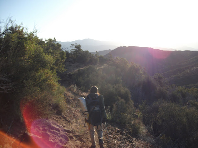
Leaving Warner Springs, my feet were getting tired. I had started with shoes that had almost no padding (the Merrell Trail Glove), and it was turning out that they were too minimal for the task at hand. They were fine for forests, but the rocky desert that I was walking on was not forgiving enough. I had ordered some of my favorite trail runners to be sent to a cafe that was a couple of days away, though, so I was keen to get there.
The first day out of Warner Springs, I met up with the group of three ladies that I met the day before Warner Springs. We made it to a water tank by the early afternoon and then sat and shot the breeze during the really hot part of the day. Annie's blisters were still really bad, but she had gotten epsom salts in town, and she spent quite a while soaking her feet in a plastic bag.
We eventually hiked on, but it was starting to get dark quickly.
Eventually we got to a spot with some flat areas where tents could be set up. Unfortunately for me, there were no trees where I could hang my hammock, so I had to "cowboy camp". It's a pretty common thing to do, especially on the PCT, where there is very little rain. Basically, it is camping without any shelter. I put the tarp of my hammock down and my mat and sleeping back on top of it. The bugs were pretty bad (I kept Annie awake by slapping at mosquitoes), and the ground was a lot less comfortable than my hammock, but I made it through the night. Thankfully, it was one of the very few times that I was forced to sleep on the ground during the whole trip.
The next day was, for me, a big day. I wanted to get to the cafe as quickly as possible to get my shoes. We started early, but before long it was hot again. Raven, Lovebird, and Garby, who had all left Warner Springs a bit after I had, caught and passed me. Eventually we all met at a water cache and again tried to wait out the sun.
I found that I couldn't wait. New shoes were just too close and too tantalizing. It was really hot, but they would have cold drinks at the cafe. I walked on, up and down hills, and across dirt roads with no trail magic until I finally got to the top of a hill where I could see the road with the cafe. I could see Annie ahead of me, and I knew that she would have no trouble getting a ride. I was also really excited about the cafe. So I started running down the hill towards the road.
Annie really had no trouble getting the ride – I think someone stopped before she had enough put out her thumb, so I was on my own. Before long Raven and Lovebird showed up and the three of us got a ride together. After a short ride, we were at Paradise Valley Cafe.
Paradise Valley Cafe really is a paradise, especially for thru-hikers. First, it has one of the best waitresses I have ever seen. She was a marvel of efficiency, giving us ice water as soon as we came in and refilling our drinks well before they ran dry. She was even reading hiking books in an effort to connect better with her clientele. It also has really good burgers (of course I got the veggie patty), and is in a really beautiful location. What made me the happiest, though, was my new shoes. After 150 miles of shoes with no padding at all, they felt like walking on cushions.
Eventually we had to leave paradise. It was late, and there was a little trail behind the cafe back to the PCT, so I walked down that until I found a couple of trees where I could hang my hammock. All the trees were too big or too far apart until I got nearly all the way to the trail. Even then, I had to be very creative to make the hammock work.
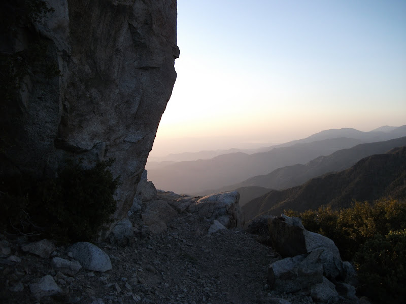
I was up early the next day and moving a lot faster. We were heading into the San Jacinto mountains, and the elevation gain meant that we would get some respite from the heat. Down below was the desert and Palm Springs, and I was glad not to be there.

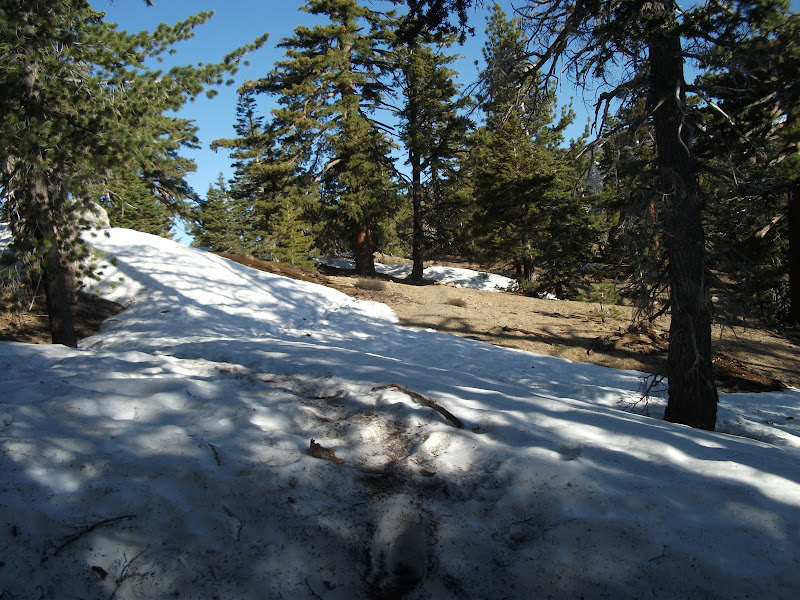
I slept on the side of a mountain that night, and the next morning came to some snow-covered trail. At that point, it was still enough of a novelty that I took a picture.
Later that day I made it down a steep side trail to Idyllwild, and met up with the rest of the crew. We had a Mexican feast and listened to some really good live music until "hiker midnight" (9 PM).
Fuller Ridge
Up early the next day to hike back up the side trail. We had more snow ahead of us, and the dreaded Fuller Ridge. People had been hyping Fuller Ridge for at least 50 miles, and as with most things in life, it didn't live up to the hype.
Though I'm writing about it now with some bravado, I must admit that I was glad to be with a group. Even better was having Lovebird and Raven in the group, who are from the Yukon and have a lot of experience hiking on snow. Garby showed me how to shorten one hiking pole while walking on the side of a ridge, but all in all Fuller Ridge really wasn't that bad. The most difficult thing was navigating on the snow. We had a good idea of where we were on the map, and using some intuition and my altimeter watch, we were able to stay at the right elevation. When we walked over the wilderness sign that was buried almost to its top in the snow, we knew we were at the right place.
We ended the day at a trailhead whose elevation was not much different from the top of the ridge. It had already been raining a bit during the day, and it continued into the night. Because of the elevation, it froze over night and I awoke to find a thin layer of ice covering my hammock's tarp. Since my new shoes were frozen, I wore my old ones for a while that morning as we started our descent.
The descent from Fuller Ridge is kind of amazing. The factoid on the map states that it's 4.3 miles in a straight line but 15.2 miles on the trail. It's just one switchback after another. It's a little boring, but we made quick work of it. We got to the bottom by noon. We had lost about 7000 feet of elevation in the morning and were in the boiling heat of the sun once more.
Next time
Some editing will be in order if I ever want to finish writing about this hike. I remember it all so vividly, though, and I enjoy reliving the details. Anyway, we will go past a wind farm and get caught in the rain. We will miss some of the best sights on the trail because we stupidly followed the law and took a marked detour. And a Best Western will never have seemed so good after a tough day with some more rain.